Frequently Asked Questions (FAQ)
Improve safety for people biking & rolling by creating an all ages and abilities facility
Make it easier for people using bicycles, scooters, wheelchairs to get to parks, schools, jobs, recreation, and more. It will expand the connected network of existing separated bicycle facilities and provide new connections to neighborhoods south of Pratt St.
Fill a gap in our multimodal network by connecting the Maryland Ave cycletrack and larger protected bike network to the Greenway Trail Network.
What are the goals of the Sharp St Bikeway project?
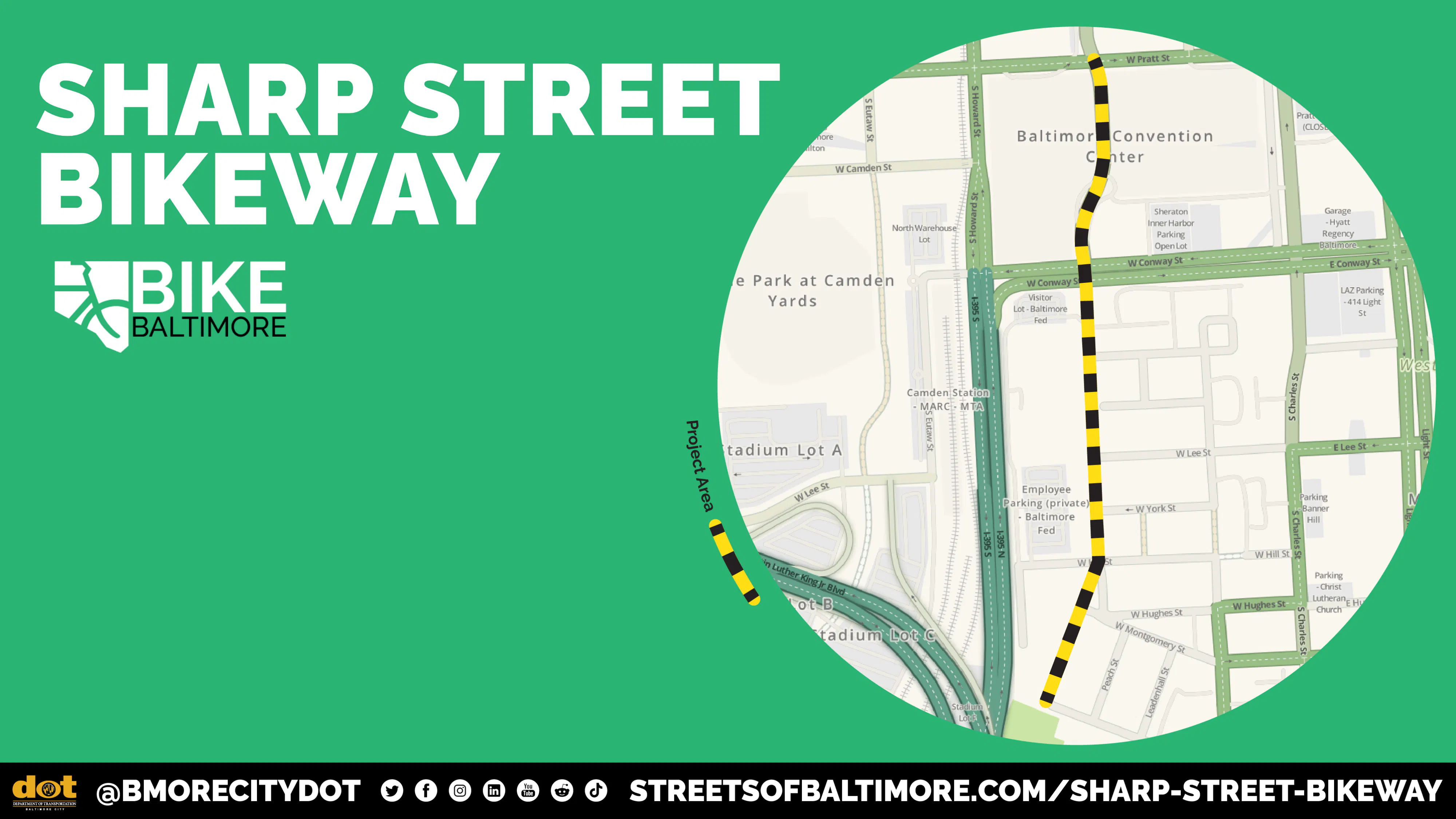
The Sharp St Bikeway project seeks to make improvements on Sharp St between Pratt St and W Henrietta St that will:
Why was Sharp St selected for the location of the bikeway?
Sharp St was prioritized for improvement in transportation plans approved by the City Planning Commission. Specifically, Sharp St from Pratt St to Barre St was recommended for a separated bicycle facility in the 2017 Separated Bike Lane Network Update plan as it advances citywide connected bicycle network. The City has a responsibility to implement plans adopted by the Planning Commission.
A safe bicycle facility on Sharp St between Pratt St and W Henrietta St—one that people of all ages and abilities can use—will make it easier for people using bicycles, scooters, wheelchairs to access jobs, schools, recreation, and more. By filling the gap between Pratt St and W Henrietta St, this facility will expand the Baltimore's separated bicycle network and connect into the Greenway Trail Network.
What is the timeline for analyzing the data and making a project decision? When will this project be constructed?
As of October 2026, the project team is in the process of reviewing and verifying the information collected during the data collection and community engagement phase. We anticipate reaching a decision on the preferred alternative in November 2026 and constructing the project in Summer 2027.
How does the City make decisions on where to install bicycle facilities?
Baltimore City has a bicycle master plan that outlines the recommended bike network. This plan helps guide project selection and implementation of bicycle and multimodal facilities.
What factors are being used to evaluate the design alternatives?
The following inputs are used to evaluate design alternatives: traffic volumes, parking, crashes, speeds, and community engagement data. The project team is in the process of analyzing this data.
Who will this bikeway serve?
With both design alternatives, the City seeks to create a safe, accessible multimodal network that works for people of all ages and abilities. We know that there are people who confidently and safely ride bikes on streets without bicycle facilities. This project seeks to serve a broader set of existing and potential bike and scooter riders by providing a design that creates a safe, and low-stress condition for riding. For example, creating a safe environment for potential users like kids biking to the pool near Sharp St and Henrietta St, people biking to and from work, people biking to the Orioles game or to go out to eat. The city seeks to make biking, rolling, and riding a scooter a practical alternative for people who live, work, and play in Baltimore.
What is a two-way protected bikeway?
A two-way protected bikeway creates dedicated space for people biking, rolling, and using scooters. It features vertical separation that separates the bikeway from the motor vehicle travel lanes.
What is a traffic-calmed bicycle boulevard?
A traffic-calmed bicycle boulevard is a street with low traffic volume and low speed. It often features shared-lane markings, as well as speed bumps, curb extensions, and other design elements used to calm traffic.
What is the crash history along the corridor?
The project team is currently analyzing and verifying the crash analysis.
What are the traffic volumes and speeds along the corridor?
The project team is currently analyzing and verifying the results of the traffic and speed studies.
What are the results of the parking study?
The project team is currently analyzing and verifying the results of the parking study.
What are the parameters of the parking study?
The project team collected parking utilization data in September 2026. This data was collected over 4 days to capture typical usage. To get a robust understanding of parking on the corridor and surrounding streets, the project team recorded parking utilization during both weekday and weekend environments; in the morning, mid-day, evening, and late evening (9pm – 11pm); and on an Orioles game day and non-Orioles game day. In addition to Sharp St (Conway St to Henrietta St), project team recorded counts adjacent streets including Barre St (Sharp St to Hanover St), Hanover St (Barre St to York St), Lee St (Hanover St to Sharp St), Hill St (Hanover St to western most extent near Federal Reserve entrance), Montgomery St (Sharp St to Hanover St), Henrietta St (Sharp St to Hanover St), and Leadenhall St (Henrietta St to W Montgomery).
How many parking spots are there on Sharp St?
The project team worked closely with the Parking Authority of Baltimore to verify that there are 60 parking spaces on the west side of Sharp St and 51 spaces on the east side of Sharp St.
What is the reasoning behind capturing parking data on a day with an Orioles Game, but not a day when there was a stadium event at M&T Bank Stadium?
There were 81 regular-home games at Camden Yards in 2026. Comparatively, there are 22 stadium events that have occurred or are scheduled in 2026. Because of Orioles games more regular occurrence (22% of days in a year) compared to Stadium events (6%), the project prioritized capturing parking utilization on a day with a scheduled Orioles game as it a more common occurrence and more representative of a typical day.
Can you provide an estimate of how each alternative will impact parking availability?
The project team is in the process of analyzing and verifying the results from the parking study. The specific impacts of each alternative are yet to be determined. That said, we know that there are 60 parking spaces on the west side of Sharp St between Conway St and Henrietta St (~0.3 miles). The city is reviewing comprehensive parking, safety, and traffic data to fully evaluate two conceptual alternatives. Once an initially preferred concept is selected, the recommended alternative will be shared publicly.
How was traffic data captured?
Project team worked with a contractor to collect traffic data in September along Sharp St between Pratt St and Henrietta St. In order to collect data, the contractor temporarily installed devices at intersections along Sharp St.
Will the project address safety at the intersection of Conway St and Sharp St?
Yes, it is a priority to improve safety at the Conway St and Sharp St intersection.
What kind of impact does the addition of a bikeway have on property values?
The best available research does not support the claim that this project will depress property values. Effects of bikeways and other multi-modal infrastructure on property values are highly context dependent. Research looking at comparable cities indicates that there is no statistically significant direct impact on property values.
How is the project team complying with the Commission for Historical and Architectural Preservation (CHAP)?
The project team is coordinating with Department of Planning on all CHAP requirements to ensure that the final design complies. While CHAP does not have purview over the Sharp St roadway (travel lanes and parking lanes), if the project design involves making adjustments to the sidewalk on the east side of Sharp St, we will coordinate with CHAP to ensure conformity.
Has the project team coordinated with the Federal Reserve?
Yes, we are coordinating with the Federal Reserve regarding the project design and had a chance to do an on-site visit with them in September to better understand their operations.
How will this project work with the Inner Harbor development?
DOT is coordinating across divisions and external partners regarding Inner Harbor development and this project. Additionally, the City is working on a larger downtown transportation plan that is analyzing the downtown network. That project team is in the process of analyzing existing conditions.
Has the project team explored converting the sidewalk on the west side of Sharp St between Conway St and Henrietta St into a shared-use path or two-way separated bikeway?
The sidewalk on the west side of Sharp St between Conway St and Henrietta St is not wide enough to meet minimum design standards for a shared-use path or two-way protected bikeway.
Is Fort Ave considered a bicycle boulevard?
No, Fort Ave from Light St to Jackson St and from Lawrence St to Woodall St is not a considered bicycle boulevard due to high traffic volumes, and an absence of traffic calming design elements. Those particular segments just have “sharrow” markings only indicate a shared lane environment for bicycles and automobiles and are not considered a speed or volume management strategy. Fort Ave from Jackson St to Lawrence St and from Woodall St to McComas is a painted bike lane.
Do you have before and after data that you can share regarding the installation of the Fort Ave sharrows and bike lane?
No. The City is working towards collecting before and after data for each bikeway installation.
What is the budget for this project?
$350,000 was allocated in the FY26 capital budget.