The Wolfe-Washington Bikeway Study
Map of Recommendations
The network of recommendations on the map below is a subset of the corridors in the 2015 Bike Master Plan Update. It also identifies corridors for their strategic importance in "unlocking" portions of Baltimore City to low stress bike travel. Corridors that require a separated facility to become low stress are shown in purple. Those where a non-separated facility is adequate are shown in pink. The goal is to complete construction of low stress facilities on these corridors within the next two to five years. The Bike Master Plan identifies additional facilities what are needed to recude out-of-direction travel to the low stress network and reach remaining disconnected neighborhoods.

About this Project
The Wolfe/Washington Bikeway was identified in the 2017 Separated Bicycle Network Plan as a vital mobility connection due to its proximity to jobs, resources, housing, and populations in need of mobility options. Baltimore City currently has 15 miles of separated bicycle facilities installed, 7.3 of which are connected. Installing 2.1 miles of bicycle infrastructure on Wolfe Street or Washington Street will enable new connections to existing separated bicycle facilities on St. Lo Drive and Monument Street, expanding the connected network to 11 miles of high-quality bicycle infrastructure and connecting new households in East Baltimore.
| People and destinations within 0.25 miles | Wolfe/Washington Street Bikeway | 11-Mile Connected Network |
| Population | 16,400 | 62,500 |
| Households | 7,400 | 30,700 |
| Jobs | 25,900 | 87,900 |
| Car-free households | 26% | 36% |
| One-car households | 47% | 45% |
| Public housing buildings | 66 | 200 |
| K-12 schools and childcare centers | 20 | 55 |
| SNAP supermarkets and grocers | 6 | 16 |
| % of people in poverty | 19% | 23% |
| % of people within 200% of the poverty threshold | 36% | 40% |
Current Project Status

Current project activities:
- Field work and data collection
- 60% design process
- Community survey on safety, preferred materials, and placemaking ideas
- Community outreach
Fall 2024 Community Outreach Schedule
*Schedule will be updated continuously with new events. If you would like DOT to come to an event, please send us the event information in the comment box at the bottom of the page.*
Butchers Hill Flea Market 9/14/24District 13 Crab Feast 9/17/24
Traffic Calming Survey

Take the Fall 2024 Wolfe/Washington Survey!
Summary of Previous Work
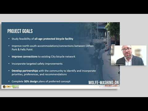
The City of Baltimore Department of Transportation led a feasibility study to determine and develop a preliminary concept of a dedicated bicycle facility on Wolfe Street and/or Washington Street from Aliceanna Street in Fells Point to Sinclair Lane in Clifton Park.
This study was funded by a 2019 Maryland Department of Transportation Kim Lamphier Bikeways Network Program grant. This project studied the feasibility of providing dedicated bicycle lanes along Wolfe Street and/or Washington Street in accordance with the 2015 City of Baltimore Bike Master Plan and 2017 Separated Bike Lane Network Plan. The study period spanned January 2021 through June 2023 and included four public meetings.
Additionally, the City and a consultant team examined existing conditions, such as land use, volumes (pedestrian, bicycle, traffic), and curbside usage, to gain a thorough understanding of the range of possibilities. In June 2023, we concluded the feasibility study and determined a 30% concept design that will provide the foundation for the next phase of preliminary design.
The feasibility study recommended one lane of vehicle traffic with two parking lanes and a protected two-way bicycle facility on Washington Street. Complementary traffic calming recommendations for Wolfe Street include speed bumps, driving lane reduction, and flexible use curb space. The report and design are published in the documents section of this page.

Public Workshop | September 14, 2022

Public Meetings and Workshops Presentations
-
 Wolfe-Washington-Public-Meeting-3-Presention (1.86 MB) (pdf)
-
Wolfe-Washington-February-Presentation_reduced.pdf (3.39 MB) (pdf)
-
Wolfe-and-Washington-Bikeway-Public-Meeting-2-Chat.pdf (181 KB) (pdf)
-
Master-Wolfe-Washington-January-Presentation_reduced.pdf (5.48 MB) (pdf)
-
FINAL_HighRes_Separated-Bike-Lane-Network_4_7-compressed.pdf (3.23 MB) (pdf)
-
Wolfe and Washington meeting 4 Presentation (5.19 MB) (pdf)
-
Wolfe_Washington_Meeting_#4_Summary_0407.docx (17.2 KB) (docx)