Greenway Trails Network
About the Greenway Trails Network
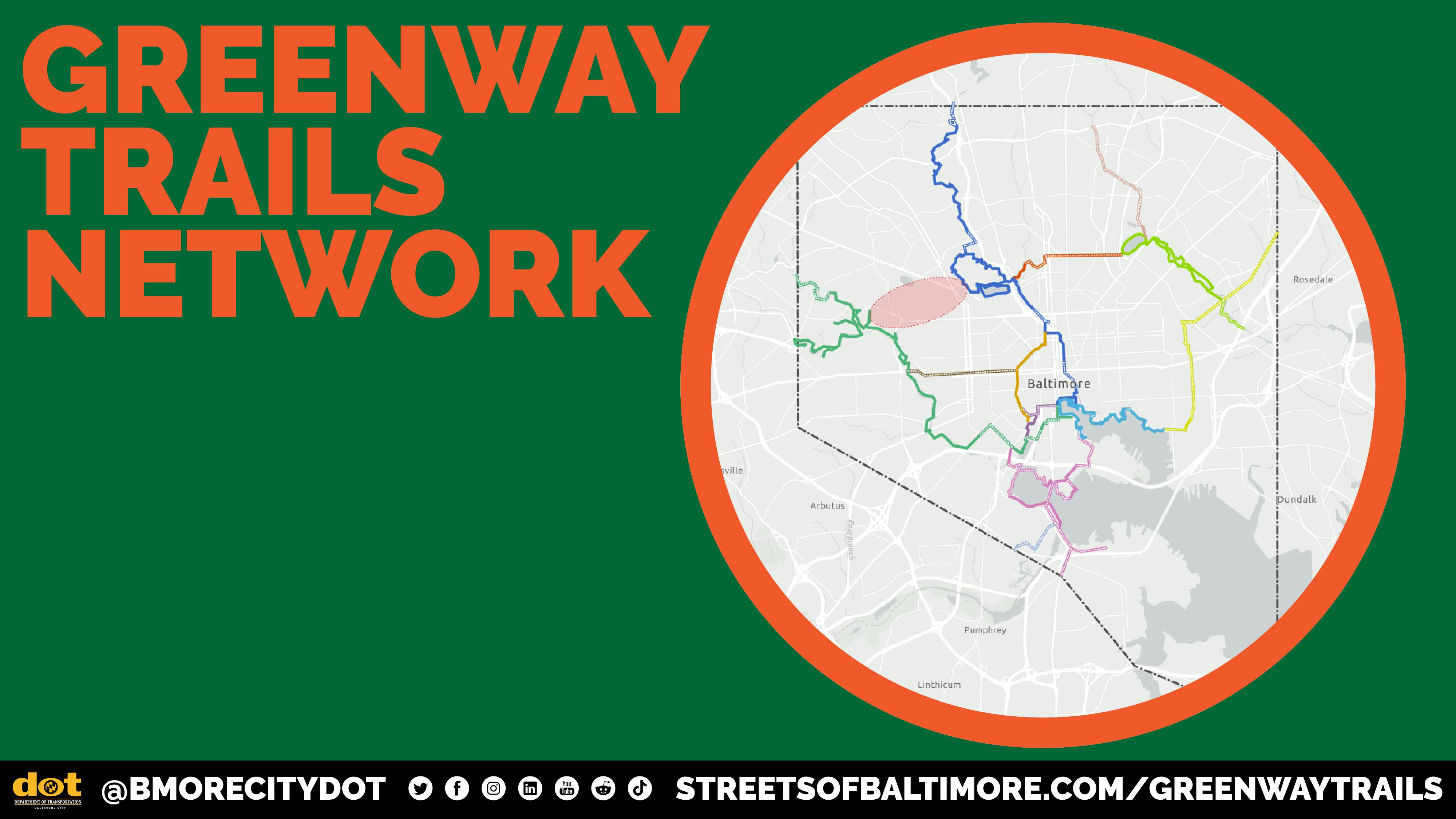
Greenway Trails Network is a vision for a 70+ mile trail system across Baltimore City. The Network is designed to make Baltimore a more livable and resilient city: connecting people with nature, supporting recreation and mobility, and creating green infrastructure that benefits health, climate resilience, and community well-being. Of the 70+ miles, 42 miles exist today; the remaining 31 miles are planned or proposed.
How does the Greenway Trails Network benefit Baltimore?
- Connects residents of 75 Baltimore neighborhoods
- Increases access to green space
- Makes it easier to walk, bike, or roll to key destinations
- Provides space for recreation and physical exercise
- Supports community-based economic development
- Protects our environment
- Improves roadway safety
Once complete, the Greenway will link residents to major parks such as Druid Hill Park, Wyman Park, Herring Run, Chinquapin Run, Clifton Park, Patterson Park, Middle Branch Park, Cherry Hill Park, Carroll Park, and Gwynns Falls/Leakin Park, as well as to transit hubs, schools, universities, and key destinations along Baltimore’s waterways, including the Middle Branch and Inner Harbor.
View the Baltimore Greenway Trails Network dashboard in a separate browser window.
Greenway Trails Network Projects
Learn more about the planned projects that make up the Greenway Trails Network:
- BGE Corridor Trail [Streets of Baltimore page coming soon]
- Boston Street Connector [Streets of Baltimore page coming soon]
- Bush Street Cycle Track [Streets of Baltimore page coming soon]
- Chinquapin Run Trail
- Druid Hill Park to Lake Montebello
- Hanover Street Corridor Revitalization
- Jones Falls Gateway
- Masonville Cove Connector (Project Lead - Maryland Port Administration)
- Middle Branch Shoreline Trail (Project Lead - South Baltimore Gateway Partnership)
- Middle Branch to Inner Harbor
- MLK Sidepath
- Norfolk Southern Corridor [Streets of Baltimore page coming soon]
- Patapsco Regional Greenway Last Mile – Cherry Hill (Project Lead - Baltimore Metropolitan Council)
- Franklin Mulberry Trail - West Baltimore United
History of the Greenway Trails Network
The idea behind the Greenway Trails Network builds on a legacy that dates back to 1904, when the Olmsted Brothers proposed a connected system of “parkways” and stream valley parks for Baltimore. Their work laid the foundation for the city’s green spaces and inspired later plans to connect them through trails. Learn more about the history of the Greenway Trails Network:
1904 – The Olmsted Brothers completed the Report upon the Development of Public Grounds for Baltimore for the city’s Municipal Arts Society. The report proposed a system of green “parkways” and stream valley parks. City leadership embraced this plan, which is credited with the preservation of many of the city’s large parks through the present day.
2016 – The concept for the Baltimore Greenway Trails Network was spearheaded in 2016 by Rails-to-Trails Conservancy (RTC), along with a coalition of more than 90 partner organizations. RTC continues to work to advance the network.
2018 – The Baltimore Green Network Plan established an ambitious vision to transform vacant properties into green community assets: a system of nodes (such as parks, natural spaces, schools, anchor institutions, and commercial districts) and corridors (natural passageways for people and wildlife to move between the nodes).
2021 – As part of his 100-Day Agenda and First-Year Action Plan, Mayor Brandon Scott reaffirms the value of the Greenway Trails Network in advancing multiple priority goals: “[The Greenway] is essential to my plans to increase equitable access to public open space and essential destinations while improving public health and economic outcomes across the city.”
Of the 70+ miles, 42 miles exist today. Learn more about some of the existing trails that make up the Greenway Trails Network:
Greenway Trails Network Partners
Within the City of Baltimore, the Department of Transportation (BCDOT) works in close partnership with the Department of Planning (DOP), and Recreation and Parks (BCRP) to plan, implement, and maintain the Greenway Trails Network.
Externally, BCDOT, DOP, and BCRP coordinate with several partners, including:
- Regional and State Partners like MDOT and BMC
- Community-based organizations at the project level, like the Rails-to-Trails Conservancy and others. Learn more on the project pages listed above.
The existing and future segments of the network are located on property managed by BCRP, BCDOT, and private property owners. A management system is necessary to coordinate the responsible party for each segment and to ensure that the shared use paths and trails operate as a consistent and cohesive set of corridors, built to standard specification, within the larger citywide transportation network.

Thank you for your contribution!
Help us reach out to more people in the community
Share this with family and friends